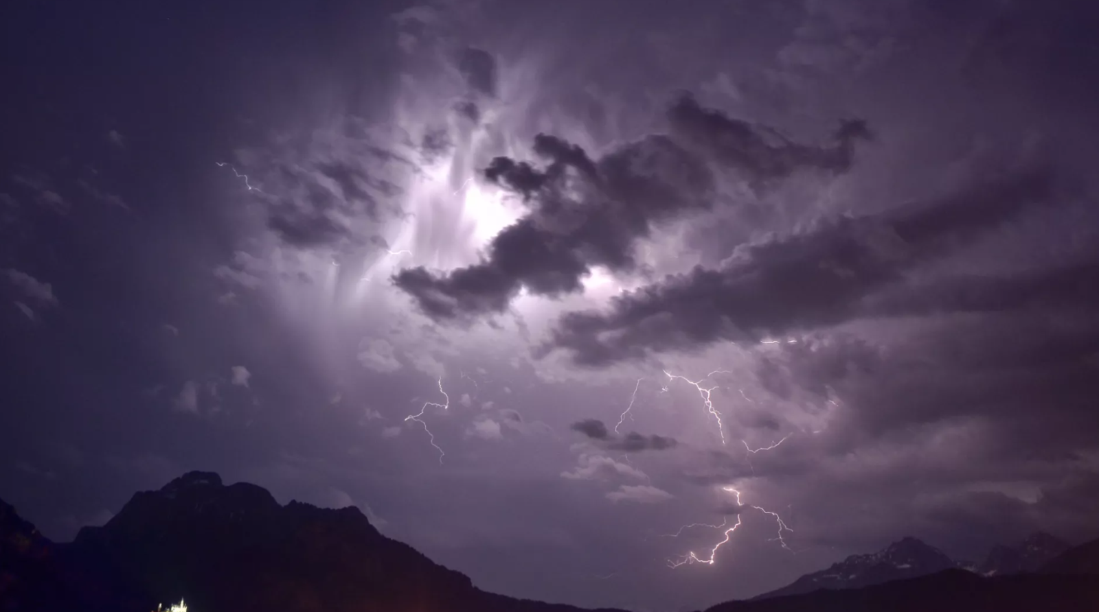
In a dry storm, rain forms high in the cloud but evaporates before hitting the ground, thanks to a layer of hot, dry air below. The telltale sign is virga — streaks of "ghost rain" that vanish midair. Despite the lack of rainfall, these storms unleash intense lightning, gusty winds exceeding 100 km/h, and sometimes dangerous "heat bursts" that can raise temperatures by more than 10°C in minutes.
Why They're So Dangerous
The main threat is dry lightning: strikes that ignite vegetation already parched by heat waves. Unlike wet storms, there's no rain to douse the flames, allowing fires to grow unchecked. Powerful winds from the storm's downdrafts can fan those flames into infernos, while dust and smoke degrade air quality for hundreds of kilometres.
Climate Change's Role
Hotter, drier summers are making dry storms more common. Heat waves dry out vegetation, create the perfect vertical air profile for evaporation, and add instability to the atmosphere — all ingredients for lightning without rain. Scientists warn that in arid regions like the Mediterranean or the American West, dry storms could become a summer norm.
One notorious example struck Spain's Ayora-Enguera region in 1979, when a dry storm during a heatwave ignited a blaze that consumed 44,000 hectares. Today, with climate change intensifying heat and drought, such events are becoming both more likely and more dangerous.